


| Distance | 37 km |
| Difference in level | 1133 m |
| Difficulty | Intermediate - difficult |
| Ground | Paved road, terrain |
| Recommended bike | mountain bike |
| Duration | 3 hours |
| To view in area | Percorso Verde, San Marco, Vagliano e i Conservoni di Monte Pacciano, Monte Tezio, Castello di Procopio, Borgo Colognola, Castello dell'Oscano, Cenerente. |
| Staging points | 1-Percorso Verde, 2 - Museo delle acque Vagliano |
| Interchange | Routes 1 |
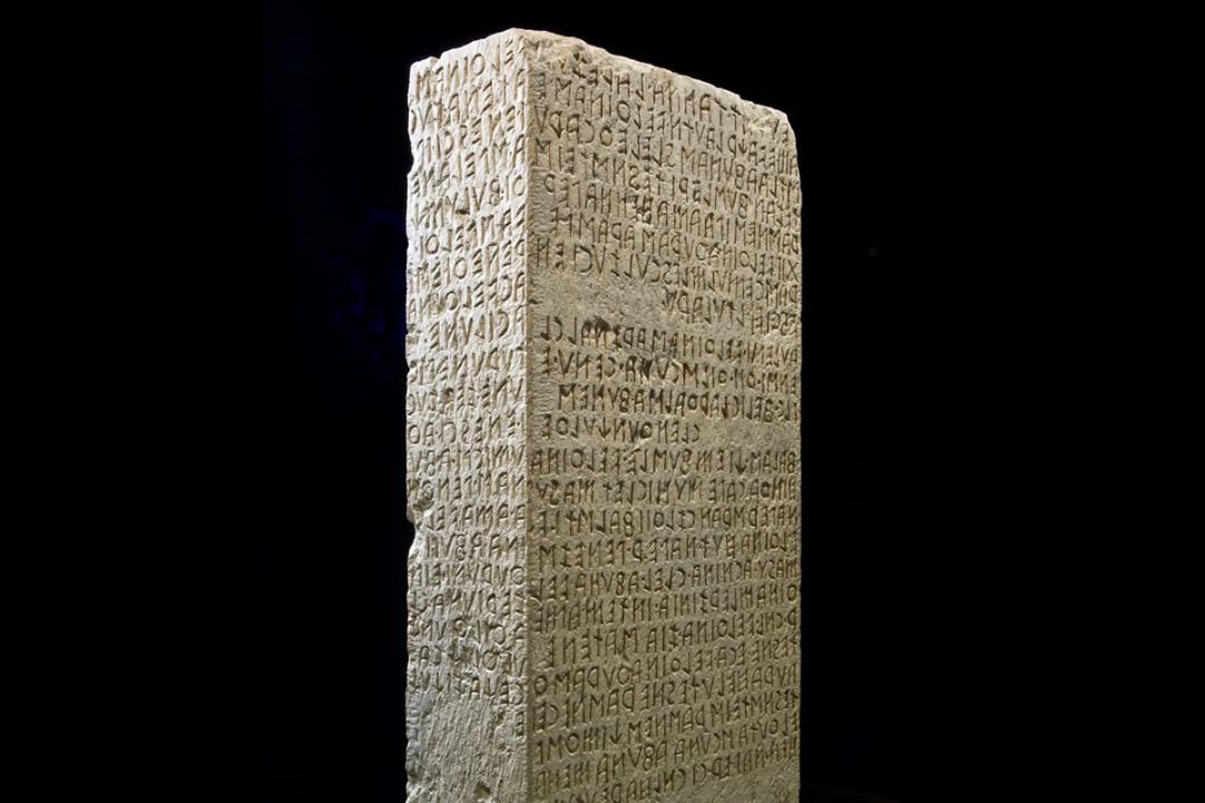
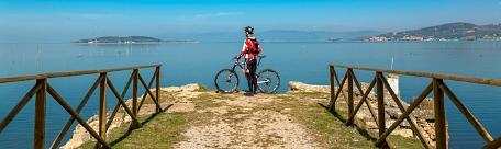
We start from the Green Route of Pian di Massiano, from which we reach the San Marco area, rich in castles, parish churches and farmhouses dating back to the 14th and 15th centuries and where, in 1822, the Cippo di Perugia was found, a stone stele with boundary functions that proved fundamental in the deciphering of the Etruscan language.
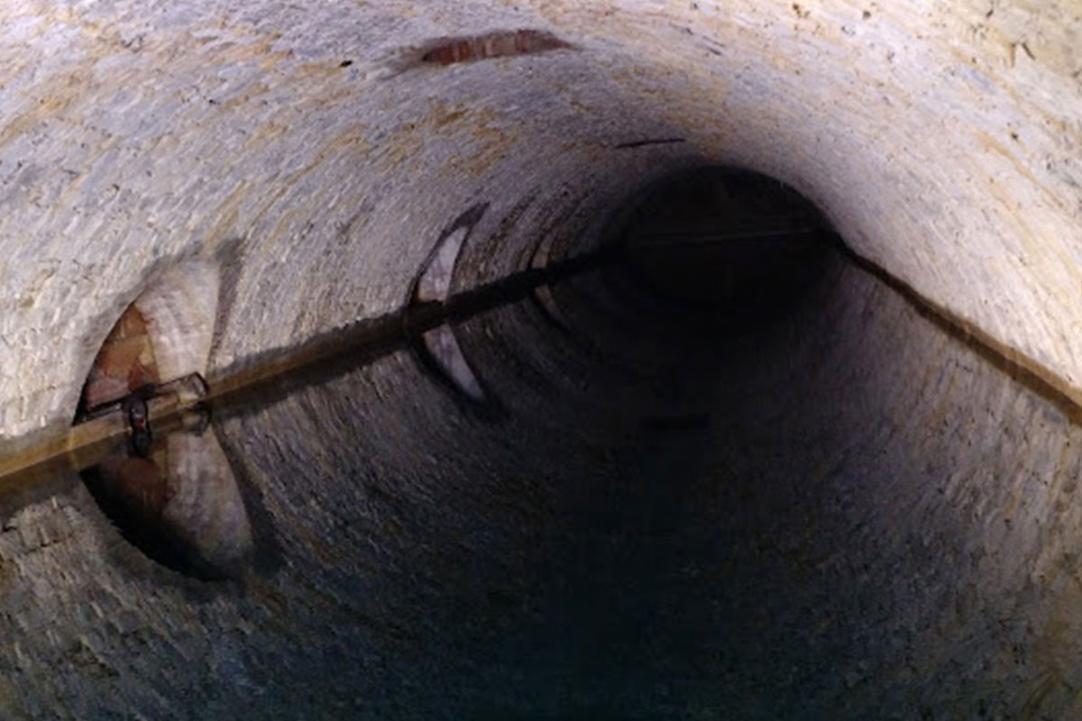
Proceeding from San Marco in the direction of Monte Pacciano, one can reach the locality of Conservoni, which houses two cisterns in which water was collected to feed the Perugia aqueduct. Between 1254 and 1277, in fact, the 5-kilometre aqueduct was built, which, terminating at the Maggiore fountain in Piazza IV Novembre, supplied the entire historic centre with both rainwater and spring water. This infrastructure was entirely rebuilt twice (in 1317 and in 1884), as it suffered not only plundering but also the diversions of those who wanted to irrigate their fields with impunity. The largest cistern - of which the others are a kind of reserve - is accessed through a tunnel located in the adjoining stone house, once the home of the caretaker and now home to the Water Museum.
Deviating along the forest, it is also possible to reach a belvedere and an equipped rest area.
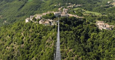
Retracing one's steps along the Strada dei Conservoni to the crossroads with the Strada di Monte Pacciano, one resumes the tour that will take us to Montebagnolo, on the slopes of Monte Civitella and the much more imposing Monte Tezio, protected by the park of the same name, over which stands the Castle of Procopio (or Migiana). Similar to other castles in Umbria, although it started out as an open rural village, in 1455 Procopio Castle was fortified at the behest of Frederick Barbarossa, with the purpose of defending and controlling the fertile Tiber valley.
Like Borgo Colognola and the Castello dell'Oscano - which are encountered in succession as we continue along the wide dirt road in the direction of Cenerente - it has undergone various conservation works and is now partly a hotel and partly a private residence.
Once we have left the medieval village of Cenerente behind us - which owes its name to the limestone from the nearby Monte Malbe, known as Cenerone, quarried until the mid-1980s - we return to our starting point passing by the Fuseum, the contemporary art museum park created by the Perugian artist Brajo Fuso (1899-1980).
MORE DETAILS ON KOMOOT
Progetto Around Perugia - realizzato con il contributo della Sottomisura 16.7 PSR per l'Umbria 2014-2022