


| Starting point | Sant’Anatolia di Narco |
| Ending point | Ceselli (Scheggino) |
| Walking time | 1 hour and 45 minutes |
| Road Surface | asphalt and dirt |
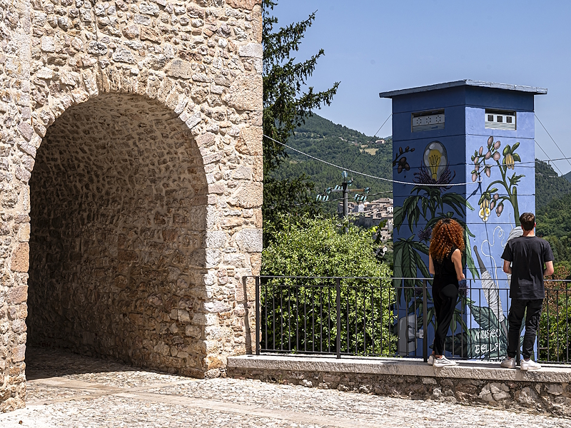
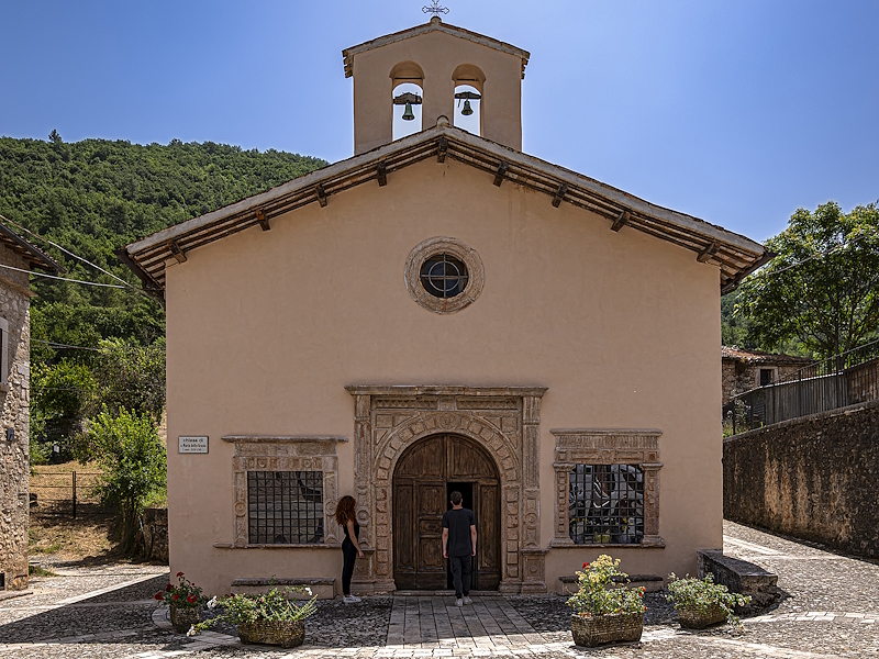
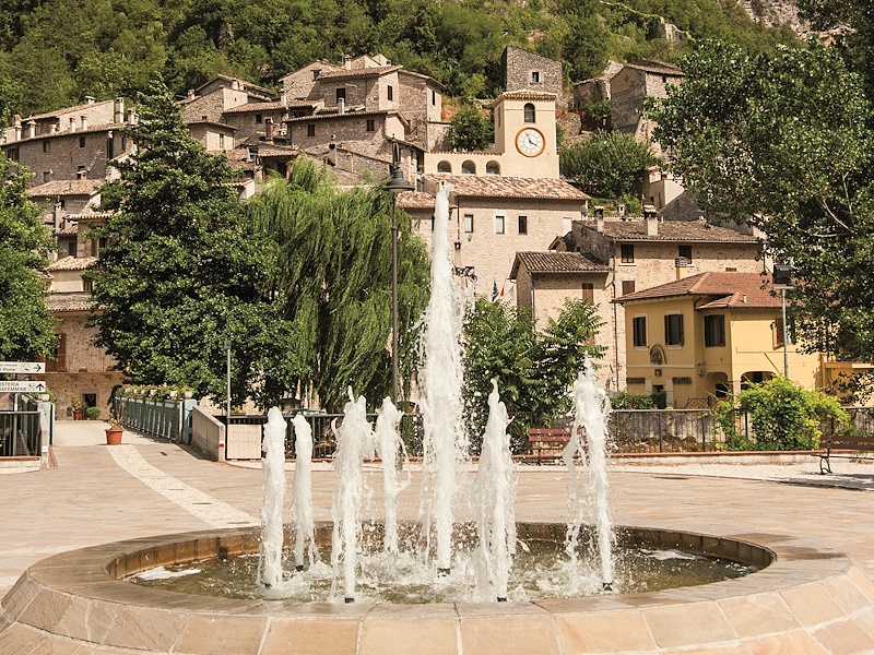
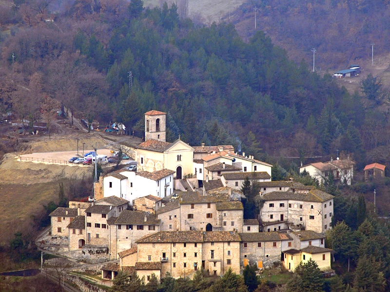
| To visit in the area | Museo della Canapa, Church of Santa Maria delle Grazie, Valcasana, Museo del Tartufo, Sant’Anatolia di Narco, Ceselli, Scheggino, Church of San Nicola |
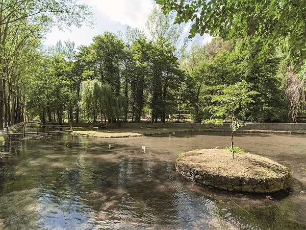
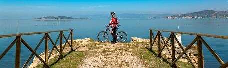
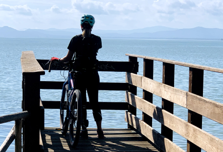
The Greenway of the Nera River is an itinerary that winds through the Valnerina for a total length of 180 kilometres, divided into 16 stages that pass through naturalistic areas and various municipalities; it can be walked, cycled or ridden on horseback, allowing full immersion in nature and human-shaped landscapes.
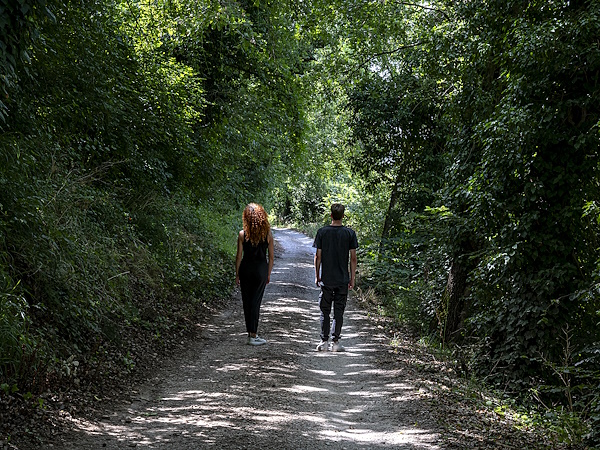
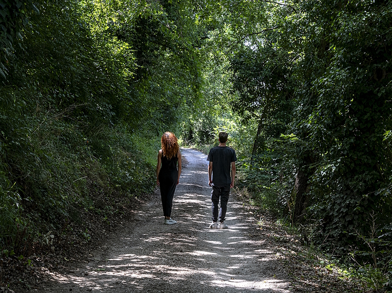
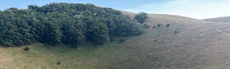
The proposed itinerary links Sant’Anatolia di Narco with Ceselli, a hamlet in the village of Scheggino. It is a pleasant walk, mostly flat, in the midst of nature. It is suitable for everyone and perfect for families.
This section follows part of routes no. 4 and no. 5 of the “Greenway - Nera River Cycle Route”, and intersects with CAI trail no. 540 and the Via di Francesco (Saint Francis’ Way), of which brown tourist signs and vertical footpaths can be found along the route.
The route includes dirt tracks through woods and short paved sections.
A detailed map of the route is available here