


| Distance | 28,2 km |
| Difference in level | +90m; -120m |
| Difficulty | easy |
| Road surface | asphalt 11,350 km (40%); gravel road 16,850 km (60%) |
| Bike recommended | hybrid, mtb |
| To visit in the area | Sant'Anatolia di Narco, Scheggino, San Pietro in Valle Abbey, Ferentillo, Arrone, Casteldilago, Marmore Falls |
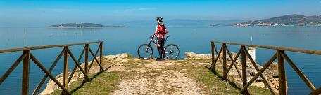
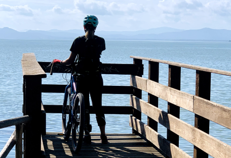
The Nera River Cycle Route, in the section from St. Anatolia di Narco to the Marmore Waterfall, is included in the wider and more challenging ring of the Nera Greenway and connects the old Spoleto-Norcia railway line with the Lower Valnerina and its villages, running parallel to the St. Francis way for long stretches.
The itinerary is almoust 28 km long and alternates asphalt and dirt road, but always runs on secondary streets with little traffic. Along the itinerary there are no heavy uphills, but just a series of short bumps; the most significant ascent is about 1 km long from the valley floor to the centre of St. Anatolia.
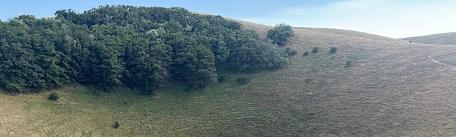
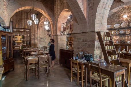
The route runs along the shore of the Nera river and is constantly immersed in woods and fields, making it a very pleasant and leafy trip. Many villages are located on the hills in this part of the Valnerina. True gems are St. Anatolia di Narco, Scheggino, Ceselli, Ferentillo, Arrone and Casteldilago that deserve short visit to their historical centers and maybe taste the excellent food and wine of this territory. Ferentillo, a picturesque village surmounted by two fortresses, houses the fascinating Museum of Mummies and a well-known climbing crag located just outside the town.
The last kilometers of the route develop between suggestive and fun stretches in the woods and after passing through a small bridge, they continue on a bridge that leads to the Lower Belvedere, at the foot of the imposing Marmore Falls.
INTERMODALITY
By car
Highway A1 (Florence-Rome), for those coming from the north exit of Valdichiana, for those coming from the south exit of Orte
Highway A14 (Bologna-Taranto), for those coming from the north exit of Civitanova Marche, for those coming from the south exit of S. Benedetto del Tronto
State roads: SS. 3, SS. 209, SS. 395, SS.320, SS. 396
By bus
Daily connections from Rome (Tiburtina Station) and Spoleto (Summer timetable in effect from 23 June 2021)
By train
The closest railway station is Spoleto


