28 March 2024 - Attention: the cycle/pedestrian path from Perugia to Trasimeno has been interrupted due to the closure of a bridge between via Papini and strada Olmo Ellera, near the Santa Sabina district.
| Distance | 29,9 km |
| Difference in level | +180m; -200m |
| Difficulty | easy |
| Road surface | asphalt19,2 km (66%); dirt 10,7 km (34%) |
| Reccomended bike | hybrid, mtb |
| To visit in the area | Perugia, Monte Sperello, Magione, San Savino. |
The Perugia – Trasimeno, although this is designed to be an essential route linking among the bike lanes which persist in several Umbrian areas, it deserves to be travelled.
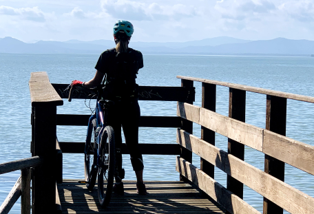
It launches the biker from the start into a new “green” Perugia, also for those who think to know it, and then to enter into some delightful countryside close to the Trasimeno Mountains, up to the Lake which suddenly turns out, by which time you get its banks.
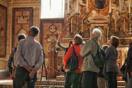
This itinerary is starting from the Regional capital town, Perugia, a city of art among the most dynamic of Italy, with its medieval and Renaissance–era buildings, its museums, its impressive churches anditswonderful squares, a combination of modernity and tradition which guards with jealousy several ancient civilizations remains that have outlined its urban plan and its cultural identity.
Going through some green areas of the town, this path continues toward Trasimeno along mostly asphalted roads, alternating with several dirt road sections of slight difficulty and with little traffic, except for several crossings on busy roads and then to rejoin at the end of the Trasimeno bike lane.
INTERMODALITY
By car
Highway del Sole (A1), Exit “Valdichiana” for those coming from the North, Exit “Orte” for those coming from the South.
Highway A14, from North exit “Cesena” and then follow the Freeway E45, from South exit “Civitanova Marche” to merge onto E80
By train
Line Milano – Firenze – Roma or Line Ancona – Foligno - Firenze: Railway Station of Foligno then you will find a connection by regional train to Perugia.







.jpg/dc513325-8938-d88b-5d03-7e2acf7edc93?width=1920)


