Del Sole Bike Lane
Ciclovie

Del Sole Bike Lane

Difficulty
Easy; Medium-Easy
Difference in level
+100m; -100m | +450m; -600m
Distance
20,2 Km | 26,3 Km
The Umbrian section of the "Sole" Bike Lane is not very long and it does not have very challenging sections but it represents a good test for those who want to engage some paths not entirely flat. 
Stages Chiusi Scalo - Fabro Scalo; Fabro Scalo- Orvieto;
Distance Stage 1: 20,2 km | Stage 2: 26,3 km
Difference in level Stage 1: +100m; -100m | Stage 2: +450m; -600m
Difficulty Stage 1: easy | Stage 2: easy-medium
Road Surface Stage 1: asphalt 6,2 km (30%); dirt road 14 km (70%) | Stage 2: asphalt 26,3 km (100%)
Bike recommended Stage 1: hybrid, mtb | Stage 2: road bike, hybrid, mtb
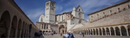
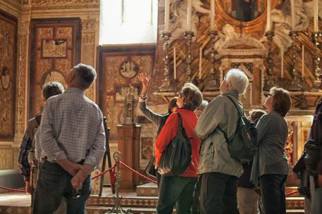
To visit in the area Chiusi, Città della Pieve, Monteleone di Orvieto, Fabro, Ficulle, Orvieto


Marker
Stage 1
From Chiusi Scalo to Fabro Scalo

Distance: 20,2 km │ Difference in level: +100m; -100m │ Difficulty: easy │Road surface: asphalt 6,2 km (30%); dirt road 14 km (70%) │Bike recommended: hybrid, mtb │To visit in the area: Chiusi, Città della Pieve, Monteleone di Orvieto, Fabro.

Altimetria
Altimetry
Mappa
Map
Roadbook
Roadbook
GPX
GPX
PDF
PDF

This first section of the "Sole" Bike Lane is spread over low traffic road network along a wonderful countryside among Chiusi Scalo and Fabro Scalo and it is recommended to any kind of bike, excluding road bikes and recumbents.


Almost the entire route is carried out on dirt roads between farmlands and hilly forests, up to Fabro passing through the National Road 71. Going up to the fortified town (100m of difference in level uphill), it is very interesting to visit the Castle, of a fortified origin, with an almond shape, built around 1000 and renovated on 1400 and again on 1500, the Parish Church of San Martino, built in XIX century, and the 19th century City Hall, whose design is attributed to Guglielmo Calderini, an architect from Perugia. The lush countryside which surrounds the village gives naturally the precious white truffle.

Read more
Marker
Stage 2
From Fabro Scalo to Orvieto


Distance: 26,3 km │Difference in level: +450m; -600m │Difficulty: medium-easy │Road surface: asphalt 26,3 km (100%) │Bike recommended: road bike, hybrid, mtb │To visit in the area: Fabro, Ficulle, Orvieto.
 

Altimetria
Altimetry
Mappa
Map
Roadbook
Roadbook
GPX
GPX
PDF
PDF

This route starts from the Train Station of Fabro on the SS71, which begins to scramble up hills and in about 7 km leads to the typical town of Ficulle, a medieval village with its doors, the castle of Conti Bonavicini (X-XI century), whose crenellated walls and two towers remains can be seen, the church of Santa Maria Vecchia, with Gothic door and some important late 15th century paintings, and the church of Santa Maria Nuova, of late Renaissance style (1606), with three aisles and a significant wooden chorus placed behind the main altar.

Outside the village can be seen some gardens equipped with picnic areas, camper and services area, where you can have some relaxing moments in the shade, before visiting, along the path, the church of the Majesty and starting the last slight rise which takes you to the descent of the trip, from which you can admire the Tiberina Valley and Orvieto cliff, whose origins date back to the Etruscan civilization, which gives us an artistic and cultural heritage among the richest in Umbria.

Read more

INTERMODALITY

By car
Highway del Sole (A1), exit “Valdichiana” for those coming from the North,  exit “Fabro” and “Chiusi-Chianciano Terme” for those coming from the South E 45, exit “Perugia”, direction Trasimeno Lake, passing through Highway Connection 6 Bettolle-Perugia/Highway Connection A1 Perugia and SR599.

By train
Direction Milano-Firenze-Roma and Direction Ancona-Foligno-Firenze: Train Station Chiusi-Chianciano Terme.