| Start | Cascia |
| Arrival | Cascia |
| Distance | 30 km |
| Height difference | 800 metres |
| Difficulty | hard |
| Surface | 65% dirt, 35% sealing |
| Recommended bike | MTB, E-MTB |
| What to see | Cascia, Norcia, Roccaporena, Parco dei Monti Sibillini. |
The route, which begins a few meters outside the center of Cascia can be divided into two parts: the first, which is nearly all uphill, goes to Forca di Civita (km 18,5); the second, entirely downhill, returns to the starting point. The total distance of 30 kilometres and the length of the climb (which has some very hard stretches) make the route difficult and therefore suitable only for really fit bikers. If some don’t mind walking, however, even less fit bikers can cover the route: the views they will discover will fully repay them for their efforts.
Leaving Cascia, the trail goes along the sealed road towards San Giorgio, and starts climbing immediately. At km 3,2, after a half-bend to the right, it leaves the sealing and turns right along a narrow mule track (be careful, as the turnoff is not visibile): from here one of the steepest parts of the climb begins, but it also provides a wonderful view of Cascia. The trail continues uphill, with a few flat or slightly downhill stretches that give bikers the chance to get their breaths back, until it reaches a flat area (known as Colonnetta) at km 9,9, where bikers can refresh at the spring on the right and admire the majesty of the Sibillini Mountains to the left.
It then continues along the first road to the left and keeps climbing until km 12,5, where it turns left along another dirt road and goes downhill for a few hundred metres. At the sealing, it turns right and starts climbing again, following the signs to Castel Santa Maria, arriving there at km 14,6. After the drinking fountain on the left it turns right and soon reaches the ruins of the magnificent Santa Maria della Neve church, destroyed by an eartquake in 1997, but still containing some interesting frescoes. From here it starts climbing again and once back on the sealed road it soon arrives at the Forca di Civita pass (km 18,5), the highest and the most panoramic spot of the trail. Here it runs right onto dirt road, then immediately left down the fast dirt descent through the woods towards Cascia. The descent is not particularly difficult, but can be plenty of fun for expert bikers who can get up some really high speed.
At km 23 the trail goes through the village of Colmotino, then turns left along the sealed road for a few kilometres before leaving it again at km 25,1 near Tazzo, and turning right along a difficult dirt track (at Tazzo, those who wish can go straight ahead and return to Cascia along the sealed road). At the end of the difficult track the trail turns left and soon returns to the sealed road and the starting point.
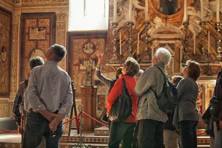
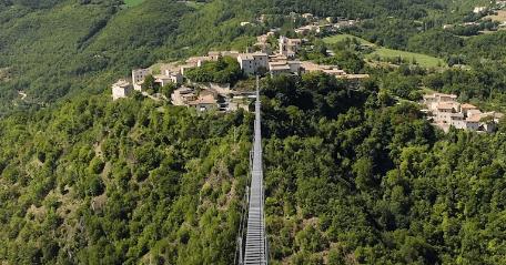
Along this route, lying on the hill S. Agostino and surrounded by reliefs that go down to the river Corno, the village of Cascia will conquer you. The most important cultural and artistic centre in the area is certainly represented by the town of Cascia. Known throughout the world as the town of Santa Rita, Cascia is a religous centre rich in mysticism and spirituality, offering artistic jewels such as the church of San Francesco, a splendid example of gothic architecture, the church of Sant‘ Antonio Abate, founded in the 15th century then rebuilt and altered in Baroque style, the collegiata di Santa Maria, the church of Sant’Agostino, at the top of the hill near the Rocca. To see also the Communal Museum of Santi Palace and Carli Palace. Nearby, it is worth visiting Roccaporena, which has a rich heritage of places recalling Santa Rita, such as the house where she lived, the garden of miracles, the rock and the rose garden, and the villa di San Silvestro (Chiavano plateau), which has ruins of a pagan temple (II century B.C.). The splendid mountains and the untouched natural beauty of the nearby Parco Nazionale dei Monti Sibillini can also be enjoyed in this area.


