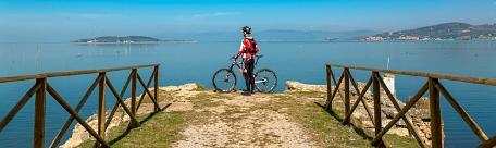

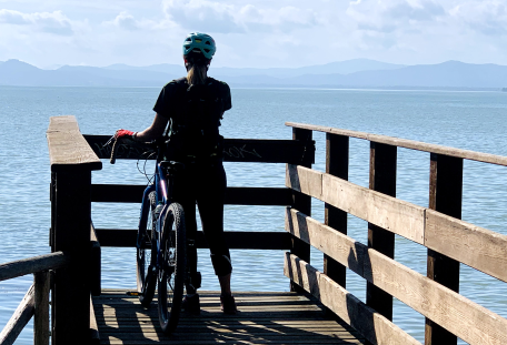


The Trasimeno Cycle Path is a circular cycling route around the lake. The UT itinerary describing the loop starts in Passignano and develops clockwise in seven sections, each with an average length of approximately 8 km, accessible by any means. The intermediate stops are Torricella, San Feliciano, Sant’Arcangelo, Castiglione del Lago, Borghetto, and Tuoro.
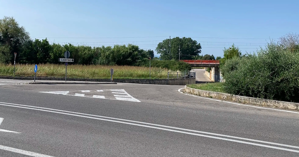
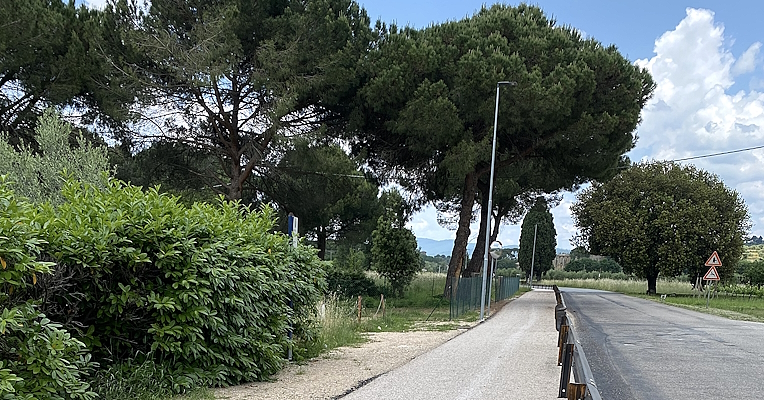
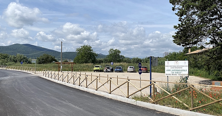
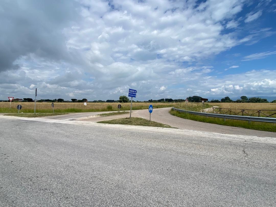
The starting and ending points of each section are access points equipped with parking areas and services.
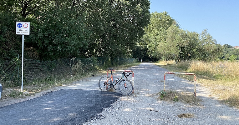
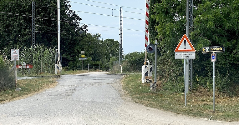
The list below includes additional access points to the cycle path, selected from those featured on the Komoot platform. These are intermediate access points relative to the starting points of the seven sections, also useful for those traveling counterclockwise. They are marked with dedicated signage and offer parking or nearby stopping points.