


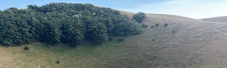


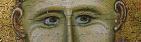
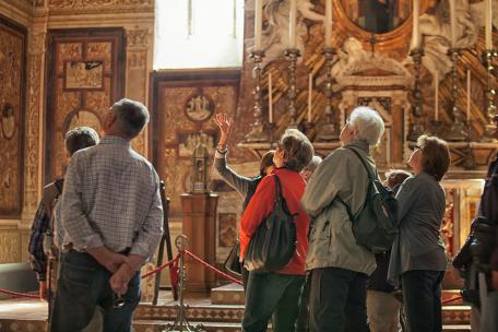


A hilly territory rich in woods that extends from Città della Pieve to Paciano, Panicale and Piegaro, an ideal place for long walks immersed into nature and among medieval villages rich in history, culture as well as food and wine: these were the landscapes from which Pietro Vannucci drew inspiration for his paintings and these were the lands dominated by Ascanio della Corgna, who built palaces that are still majestic today.
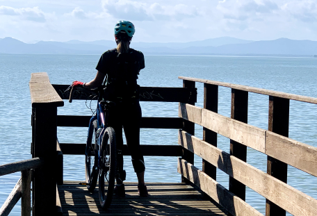
"The paths of Perugino in the lands of the Marquis" is an itinerary to discover slowly, through beauty, traditions and evidence of past glory: an itinerary of about 100 km, divided into five stages of 20 km each allowing you to penetrate among cultivations, olive groves and vineyards.
Below we briefly indicate the stages, with links for further information.
- First Stage - From Città della Pieve to Paciano and Panicale
The route starts from the beautiful and charming Città della Pieve, where Perugino was born, and reaches Panicale, a real terrace on Trasimeno lake and considered one of the most beautiful villages in Italy.
Departure: centre of Città della Pieve
Arrival: historical centre of Panicale
Uphill height difference: 910 metres
Length: 19 Km
Difficulty: Medium
- Second Stage - From Panicale to Fontignano
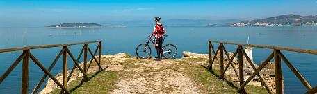
From Panicale you can admire the beauty of the Trasimeno Lake during your descent, and the wide views over the surrounding countryside, on the border between Umbria and Tuscany, until you get to Fontignano to reach the burial place of the Divine Painter.
Departure: historical centre of Panicale
Arrival: Fontignano centre
Uphill height difference: 880 metres
Length: 21 Km
Difficulty: Medium
- Third Stage - From Fontignano to Castiglion Fosco
From Fontignano we head towards the agricultural countryside in the direction of the Pietrafitta area. We reach the Abbey of the Seven Friars and continue along a path of ups and downs, alternating between agricultural and forest areas typical of the Valley, until we arrive in the small village of Castiglione Fosco.
Starting point: Fontignano centre
Arrival point: C. Fosco centre
Uphill height difference: 629 metres
Length: 21 km
Difficulty: Medium
- Fourth Stage - From Castiglion Fosco to Piegaro
It starts from the characteristic cylindrical tower of Castiglion Fosco, symbol of the village where you can find traces of the ancient castle, located on the hill.
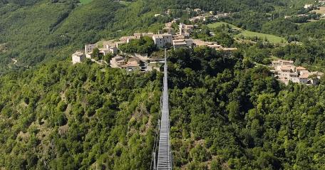
You can reach Montarale at 853 m. above sea level, the summit of the entire path that dominates the lake basin, with wide views over Perugia, Assisi and neighbouring Tuscany.
Then you descend into the valley and climb up to Piegaro.
tarting point: C. Fosco centre
Arrival point: Piegaro centre
Uphill height difference: 1.100 metres
Length: 21 Km
Difficulty: Challenging
- Fifth Stage - From Piegaro to Città della Pieve
From the centre of Piegaro climb towards Montegabbione and Monteleone di Orvieto.
After admiring some splendid scenery and views of the Valdichiana, you can return to the historical centre of Città della Pieve.
Starting point: Piegaro centre
Arrival point: Città della Pieve
Uphill height difference: 615 metres
Length: 21 Km
Difficulty: Medium
http://www.sentieridelperugino.it/


