| Distance | 58,4 km |
| Difference in level | +110m; -110m |
| Difficulty | medium |
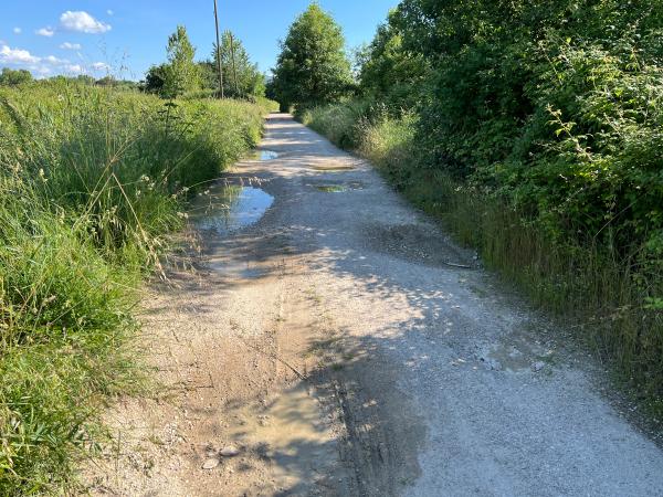
| Terrain | Paved roads and dirt paths |
| Suitable for | Bikes (all types except racing bikes; walking; wheelchairs (manual/electric); electric scooters/scooters with an electric handbike attachment |
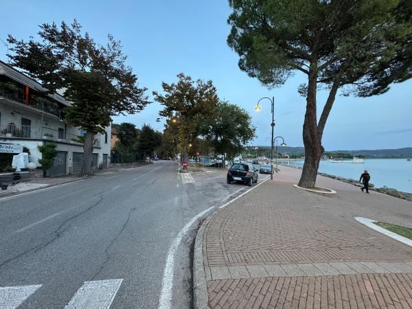
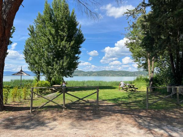
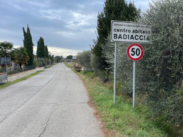
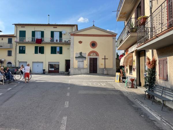
| Villages and points of interest along or near the route | Passignano sul Trasimeno, Monte del Lago, Campo del Sole Oasi la Valle, Castiglione del Lago, Tuoro sul Trasimeno, Isola Polvese and Isola Maggiore. |
The Trasimeno Cycle Route: a nearly 58 km loop, mostly flat and suitable for everyone.
ROUTE
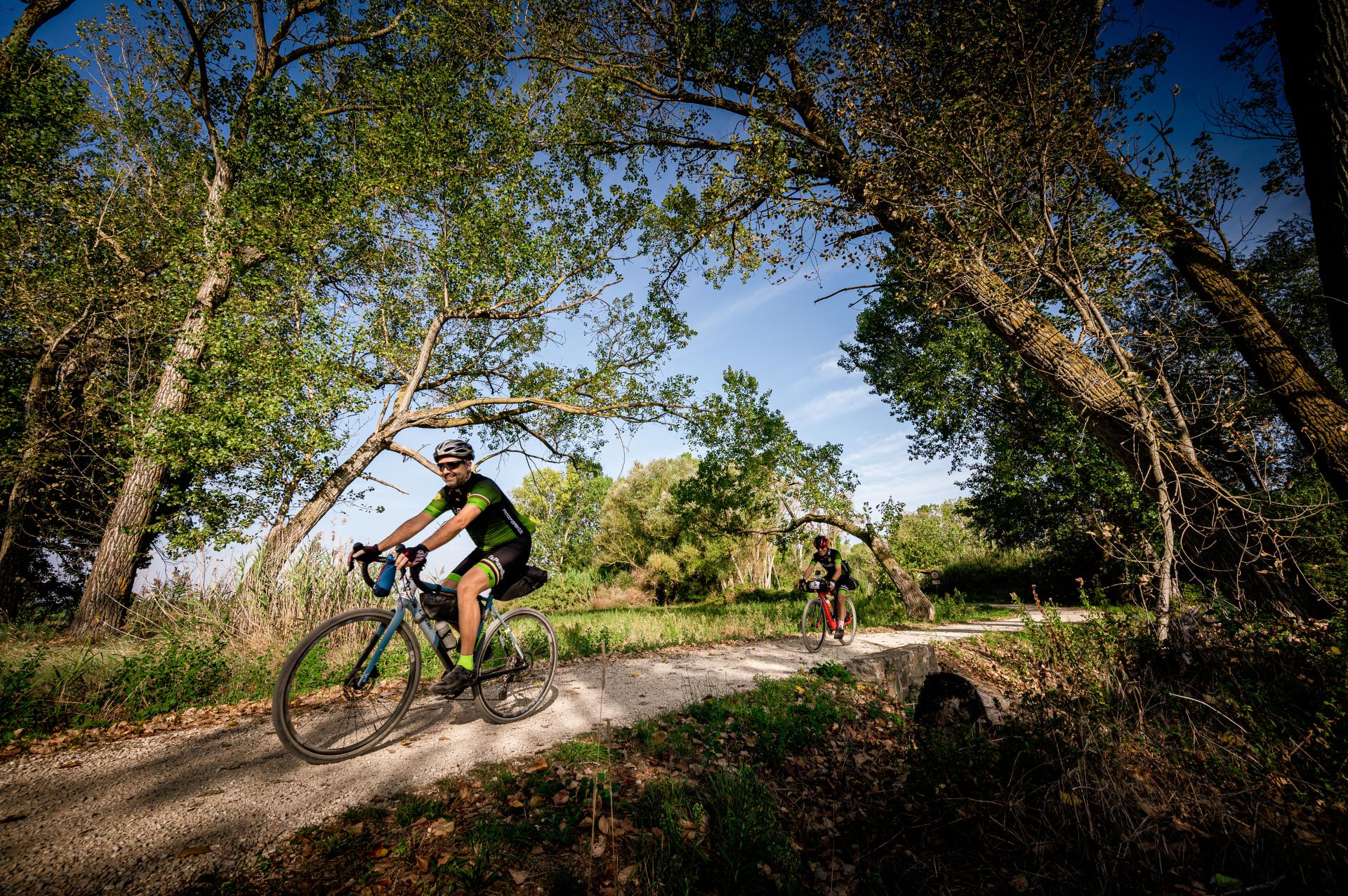
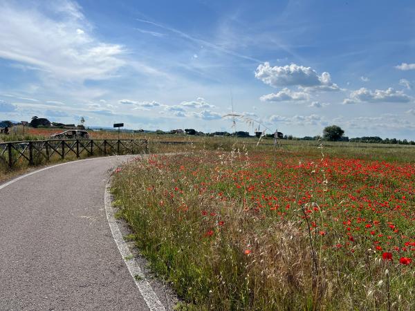
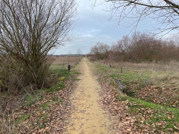
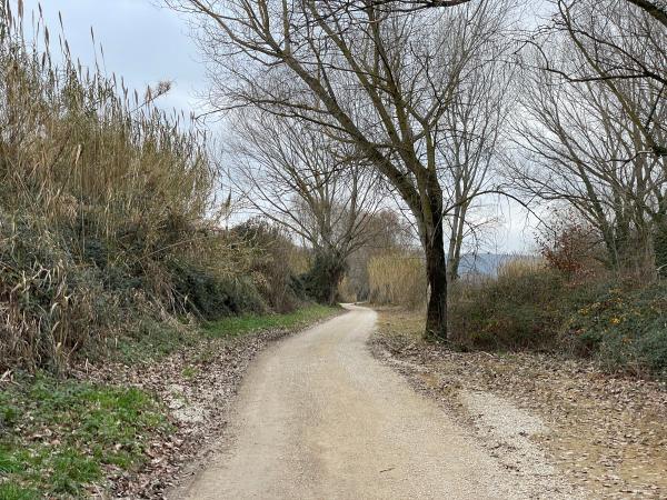
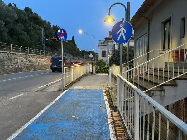
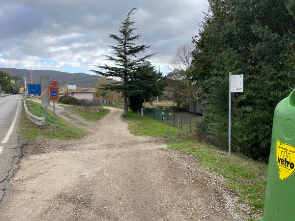
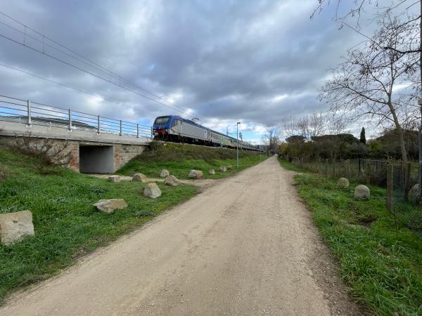
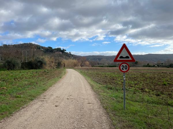
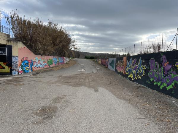
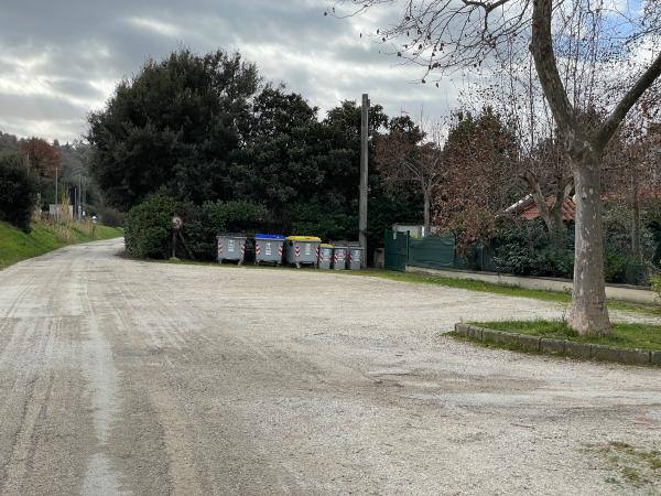
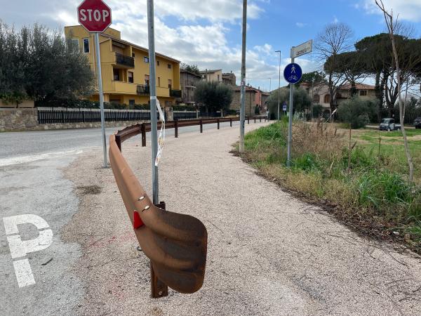
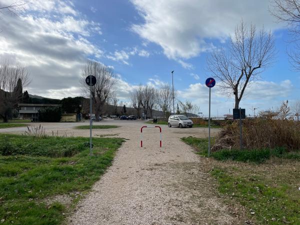
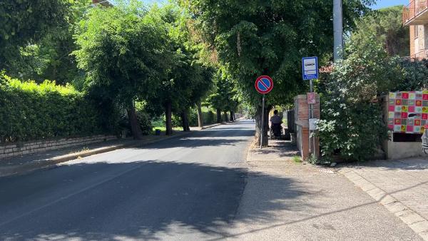
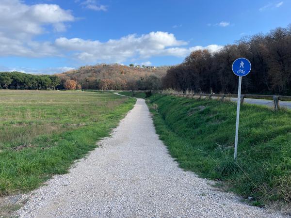
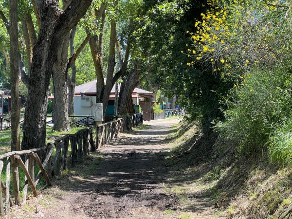
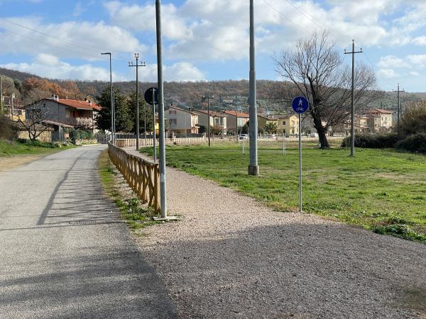
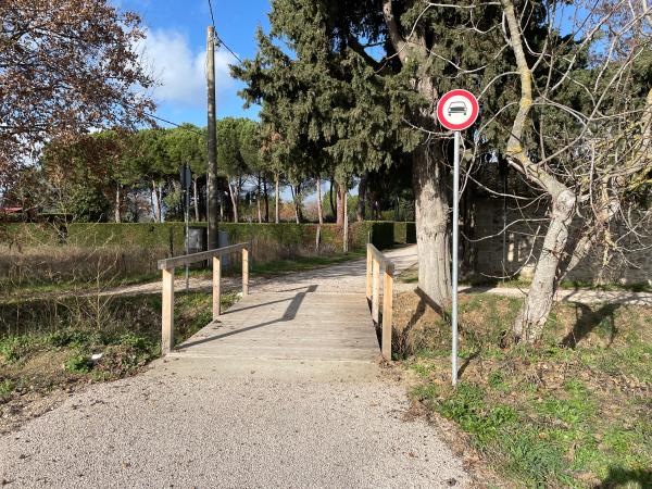
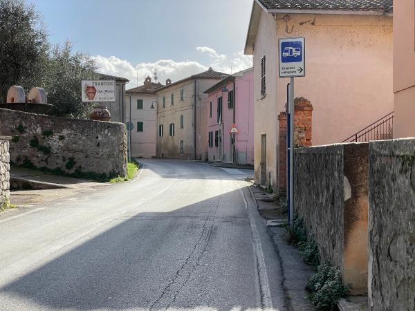
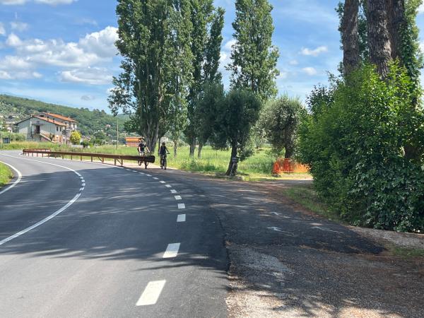
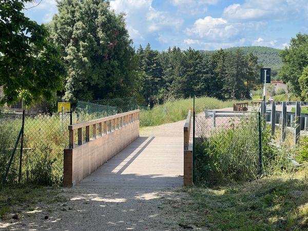
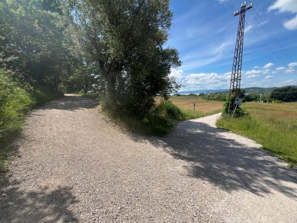
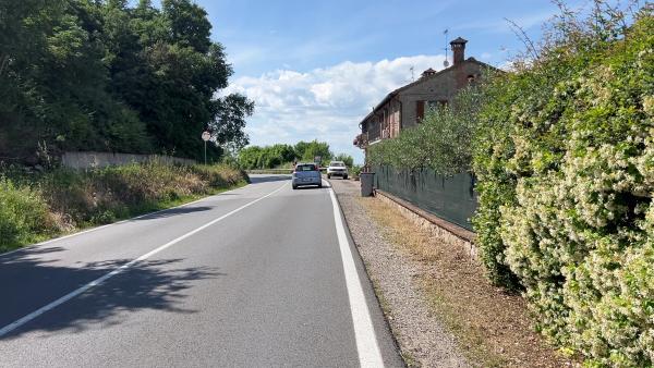
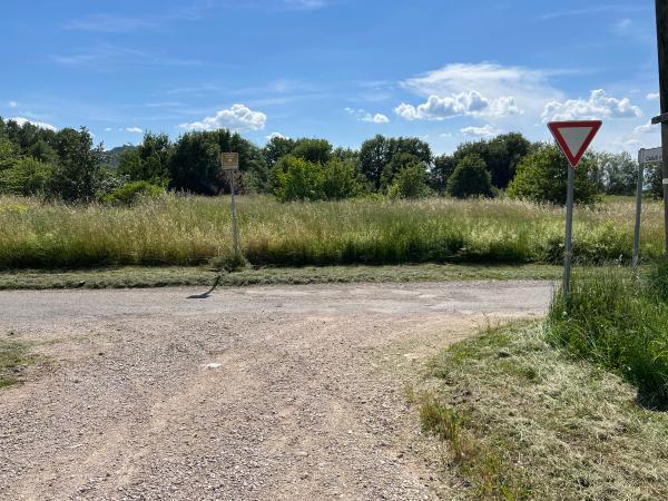
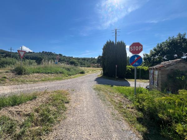
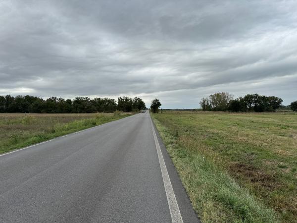
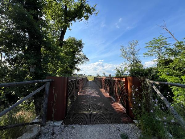
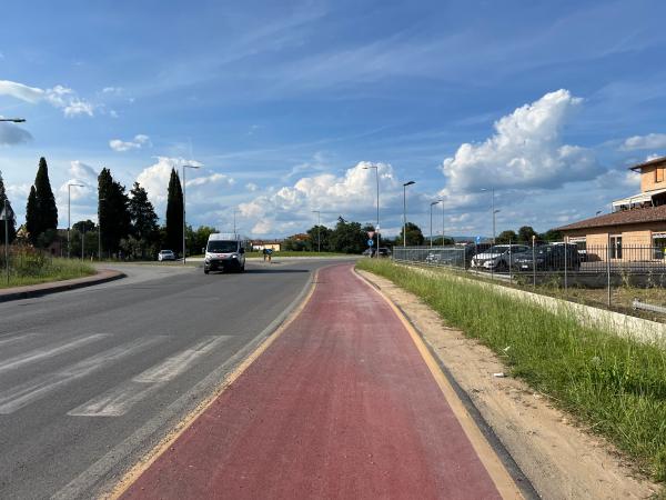
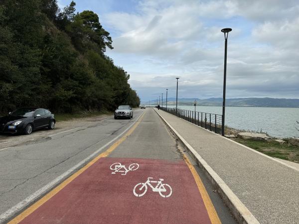
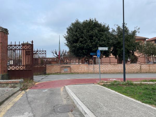
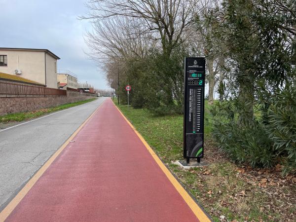
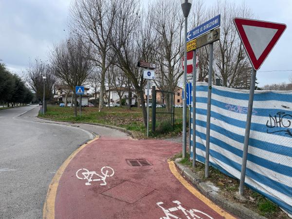
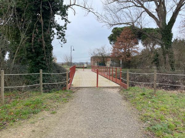
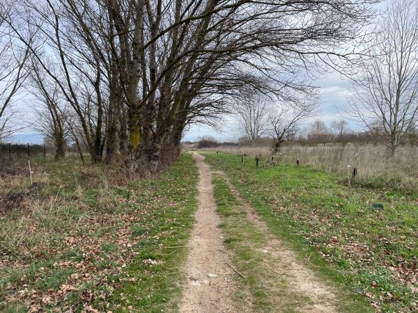
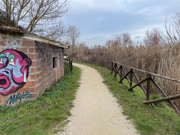
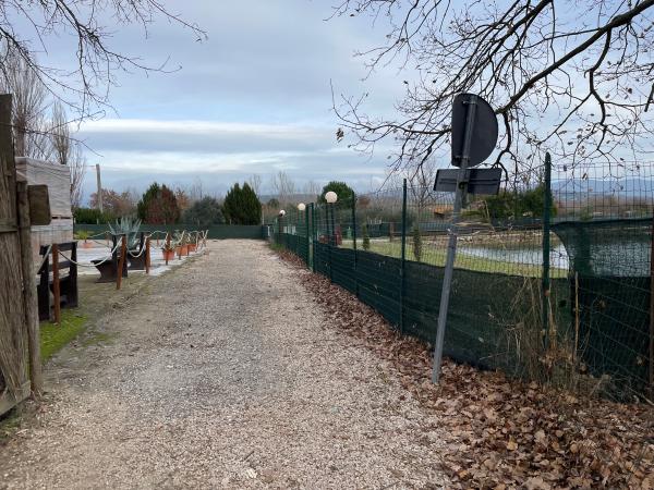
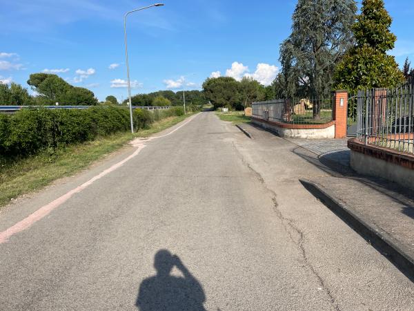
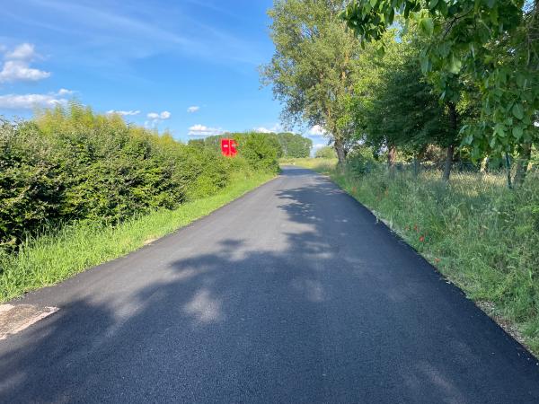
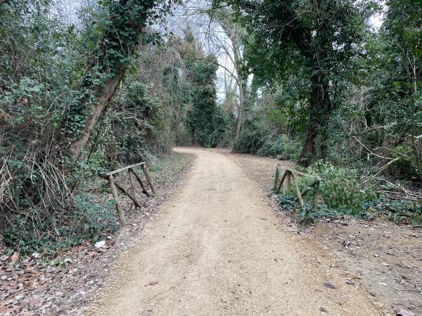
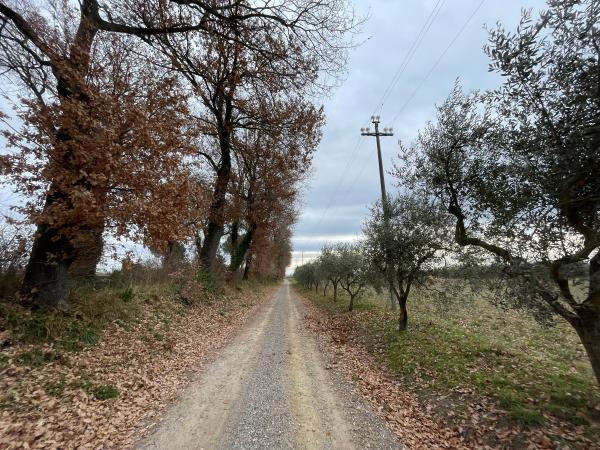
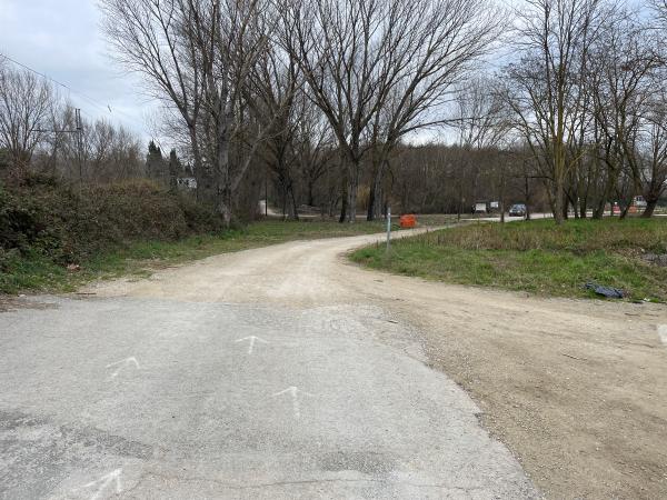
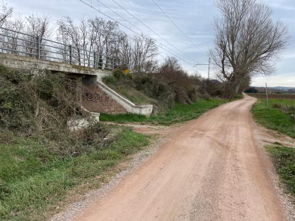
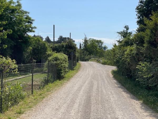
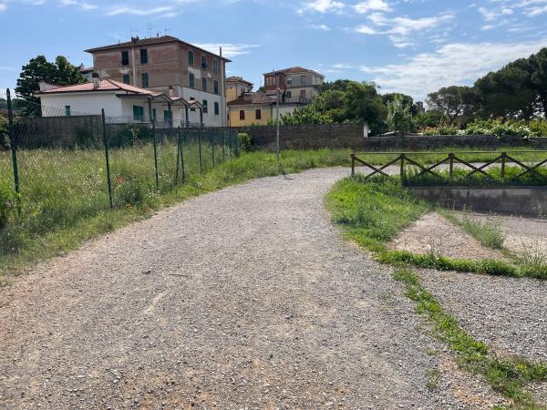
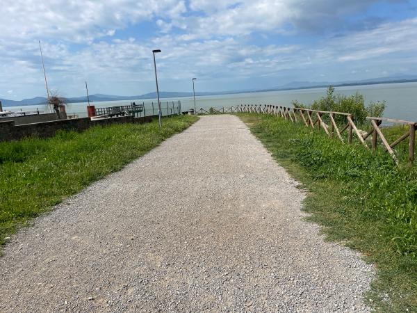
The itinerary runs along dirt roads, rural lanes, and extended stretches of dedicated paths. Some sections are mixed-use roads (open to motor vehicles), requiring caution, especially for beginners and families with children.
The cycle route is suitable for all types of bicycles, except racing bikes. Given the terrain, bikes designed for dirt paths are recommended. It is also accessible for mobility aids, both manual and electric.
SAFETY
For safety reasons, it is recommended to follow the route clockwise: this minimizes crossings and some slopes that are less dangerous in the suggested direction are better tackled by people using aids.
Additional details:
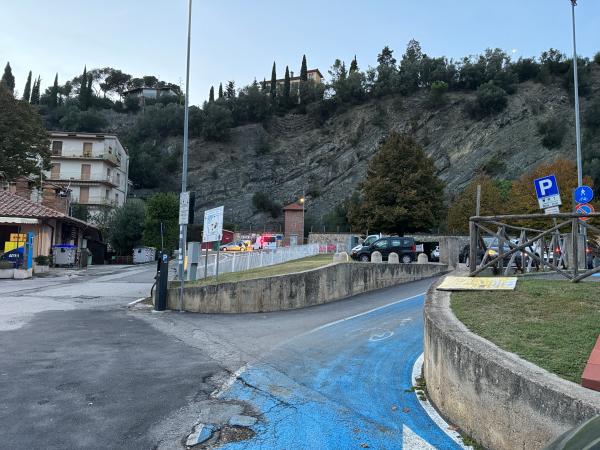
- Dangerous anti-clockwise crossings at two points along the route on the SS75 bis: start of Via Tancredo Marchini and subsequent re-crossing to re-enter the Darsena;
- entry/exit on the SR599 road in the ‘La Frusta’ area and travel for about 450 metres at ‘La Folaga sul Trasimeno’: heavy vehicular traffic and travel on a mixed surface with curves with reduced visibility;
- section on the ‘Romea’ road for about 2 km at Castiglione del Lago: heavy traffic;
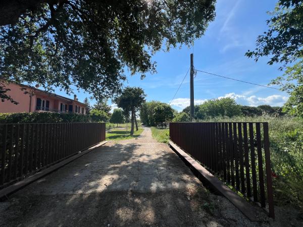
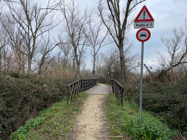
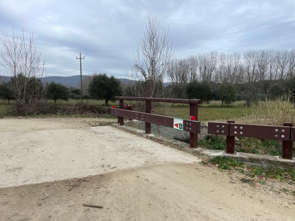
- section between Castiglione del Lago and Borghetto: in the event of rain, the presence of mud makes the bridges slippery and possible icy in the winter months;
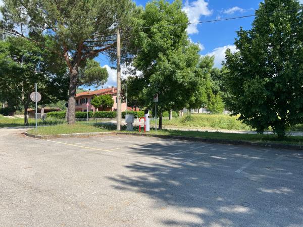
- ‘Oasi La Valle’: near the oasis, attention must be paid to cars entering the car park by crossing the cycle path; once past the car park, near ‘Ristorante Maria’, the surface becomes slanted and the average gradient is between 25 and 30%, causing the wheels to have less grip on the gravel.
ACCESS POINTS, ON-SITE INFORMATION, AND GPX TRACK
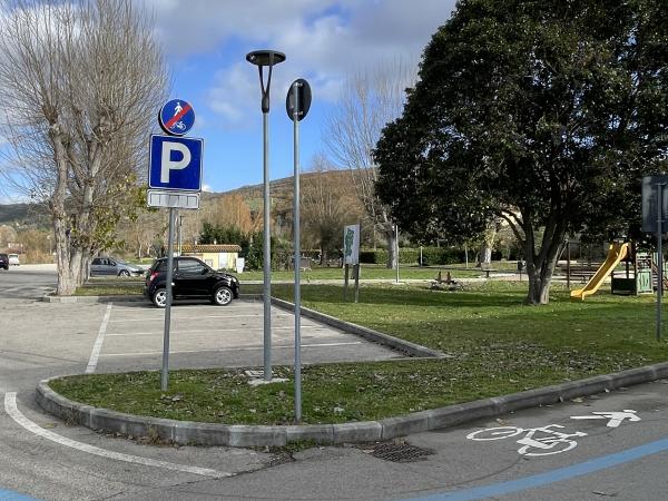
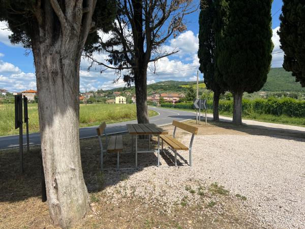
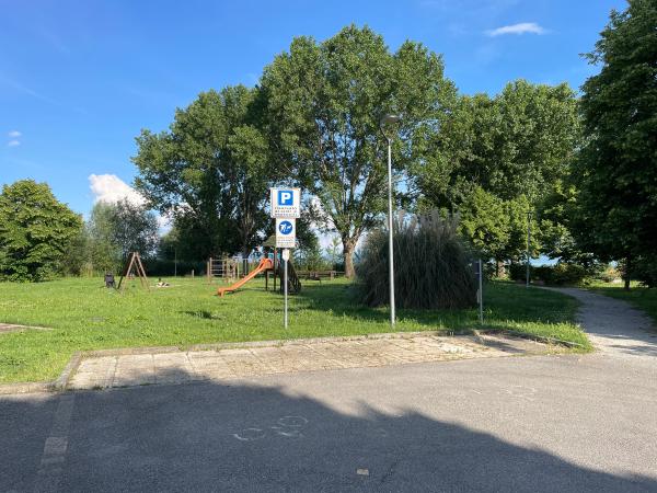
The loop is divided into 7 sections, each averaging about 8 km, accessible by all types of vehicles. Starting and ending points of each section are equipped with parking and services. Additional access points are available and can be consulted on the dedicated webpage.
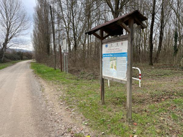
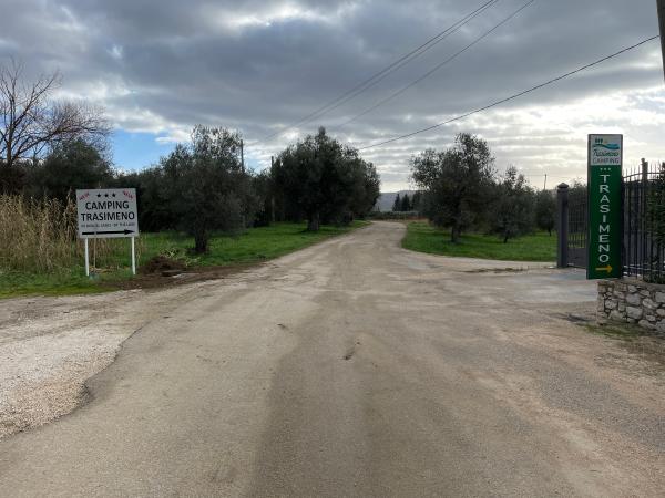
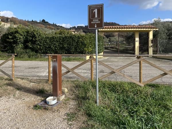
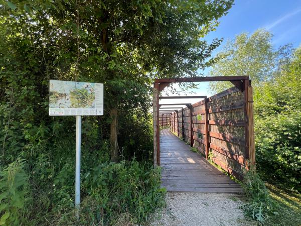
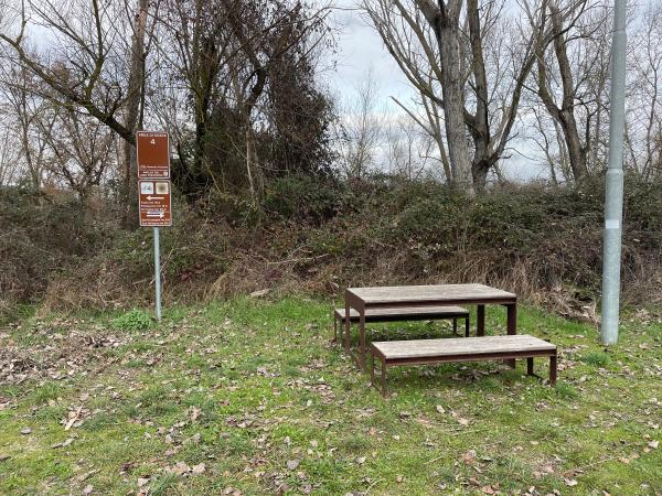
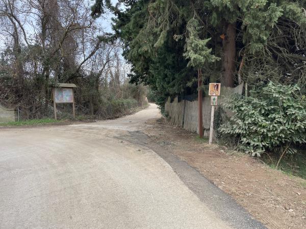
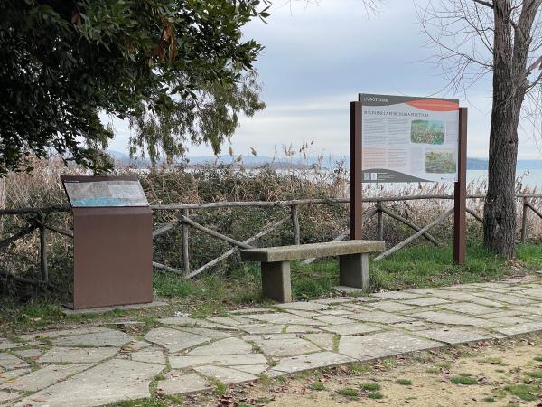
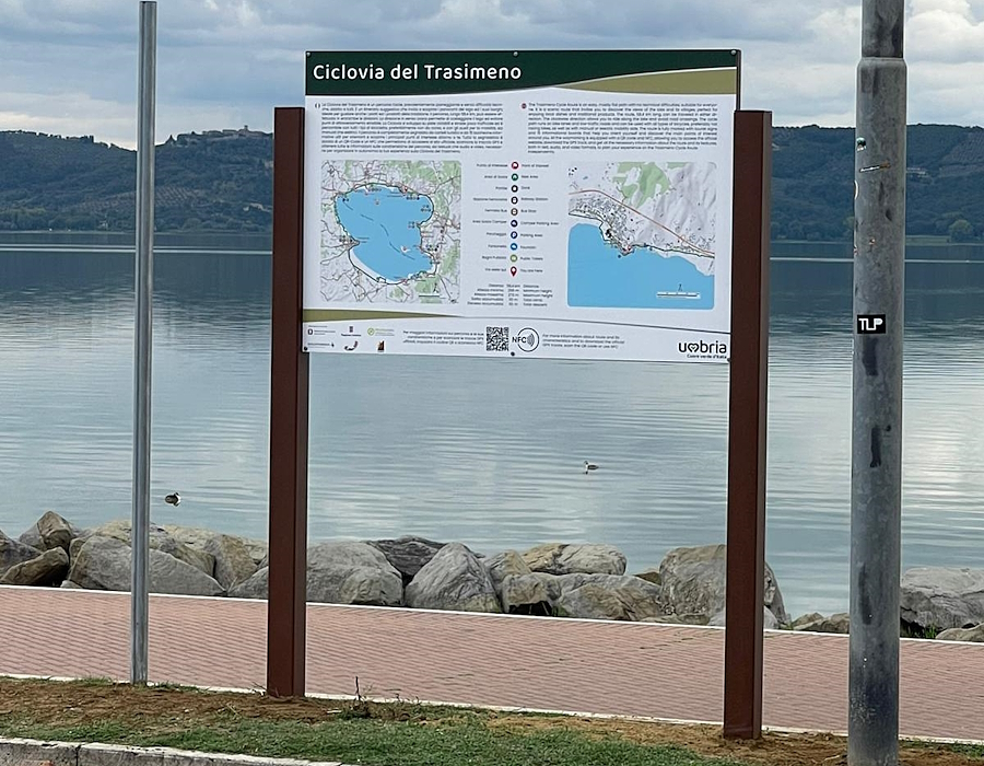
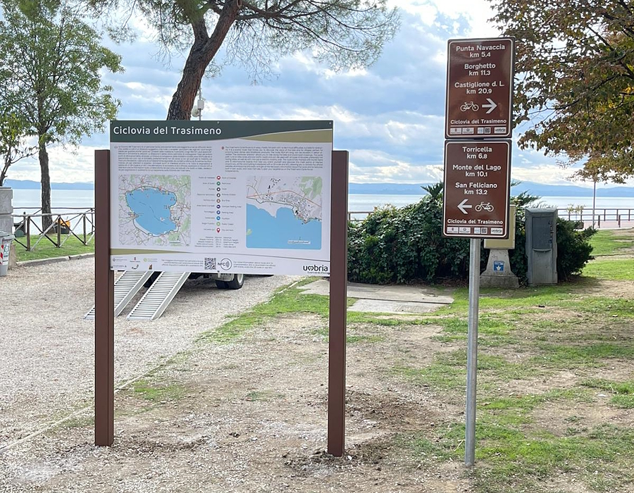
The route is marked with tourist signs and 15 information boards, providing orientation, key points of interest, and available services. Signage includes QR codes and NFC technology for access to the Umbriatourism website.
The full GPX track is available and can also be accessed via KOMOOT.
HOW TO REACH THE CYCLE PATH
By car:
- From the North: A1 motorway, exit “Valdichiana”.
- From the South: Exits “Fabro” or “Chiusi-Chianciano Terme”.
- From Perugia: E45, direction Lake Trasimeno.
By train:
- Milan-Florence-Rome line: Stations of Castiglione del Lago, Chiusi-Chianciano Terme, or Terontola.
- Ancona-Foligno-Florence line: Stations of Magione, Passignano sul Trasimeno, or Tuoro sul Trasimeno.
Bike transportation is allowed on trains (see conditions).


